Venice bus system map
You can find on this page the Venice buses map to print and to download in PDF. The Venice bus system map and the Venice trolley map present the network, stations and lines of the buses and trolley of Venice in Italy.
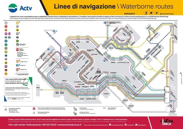
Venice bus map
The Venice bus map shows all the stations and lines of the Venice bus system. This bus map of Venice will allow you to easily plan your routes in the buses of Venice in Italy. The Venice bus system map is downloadable in PDF, printable and free.
You will probably forget the existence of urban buses, taxis and cars during your holiday in Venice, since all the island public transport is waterborne. The buses run on the mainland, for example in Mestre and certain islands like Lido as its mentioned in Venice bus map. Buses also depart from Piazzale Roma and on the island of Venice, Santa Croce is the only neighborhood where buses and cars can travel.